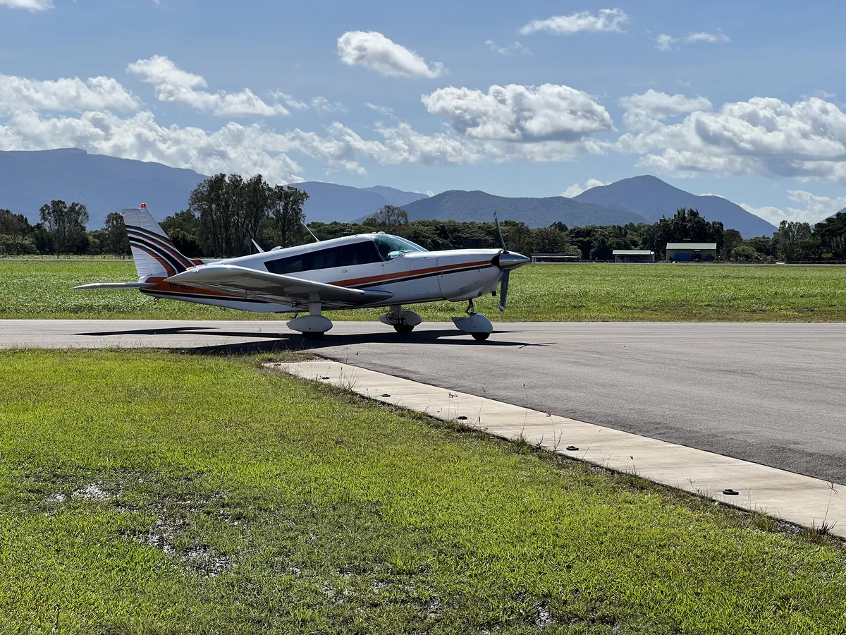
Aerial Photography & Remote Sensing
Aerial image acquisition and analysis.
Ecosystems Management (Aust) Pty Ltd
Ecological surveys, aerial imagery, bushfire planning and spatial data for natural resource managers across Victoria, Queensland and the eastern states.
Landscape understanding.
Practical insight.
Ecosystems Management (Aust) Pty Ltd (EMA) provides a broad range of services to the Natural Resource Management industry. With offices located in Bairnsdale, Victoria and Townsville, Queensland, we are well situated to provide services and expertise across the eastern states.
Get to know EMA01 / Our expertise
Five service pillars.
From field observation to spatial information.
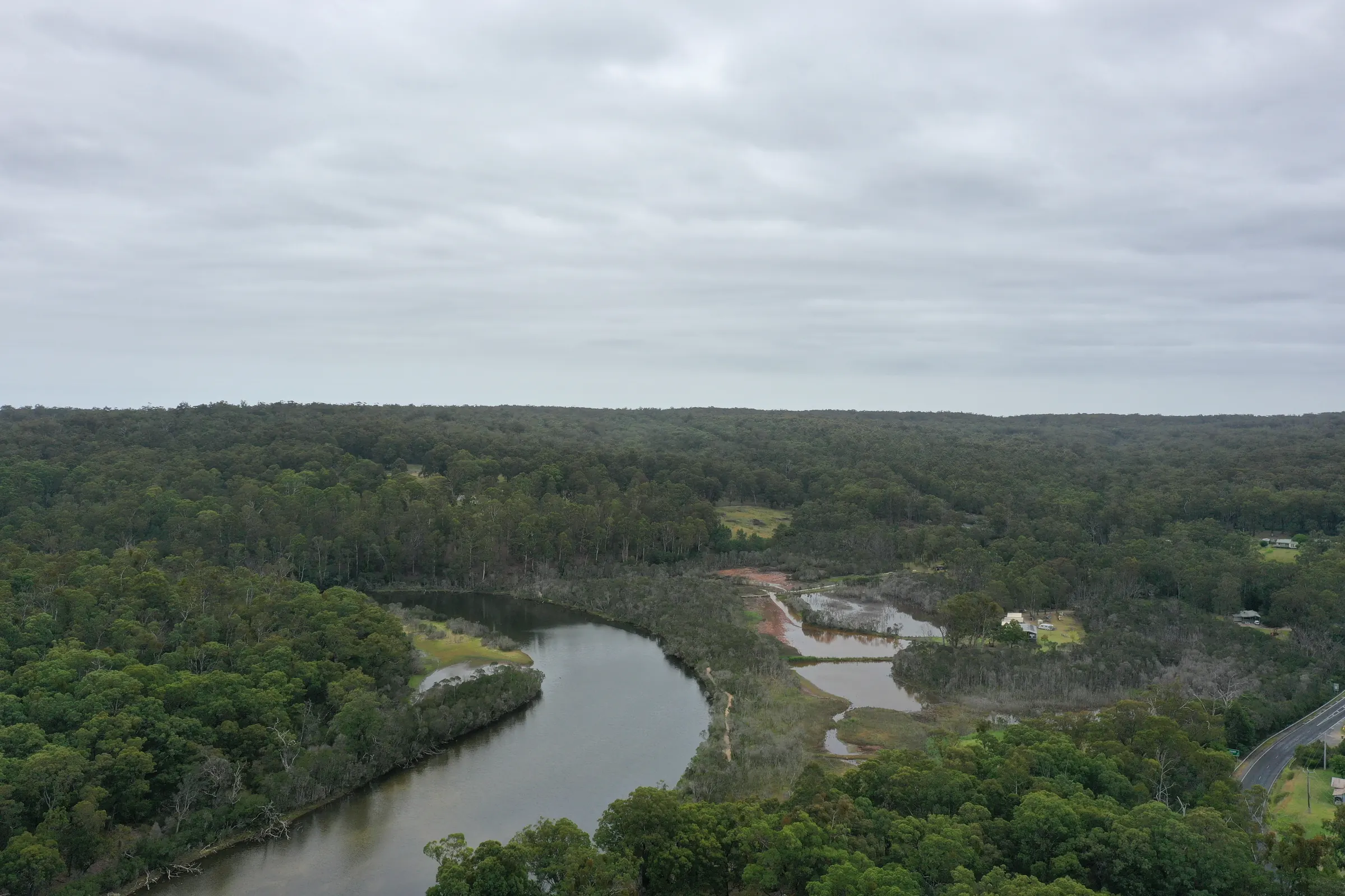
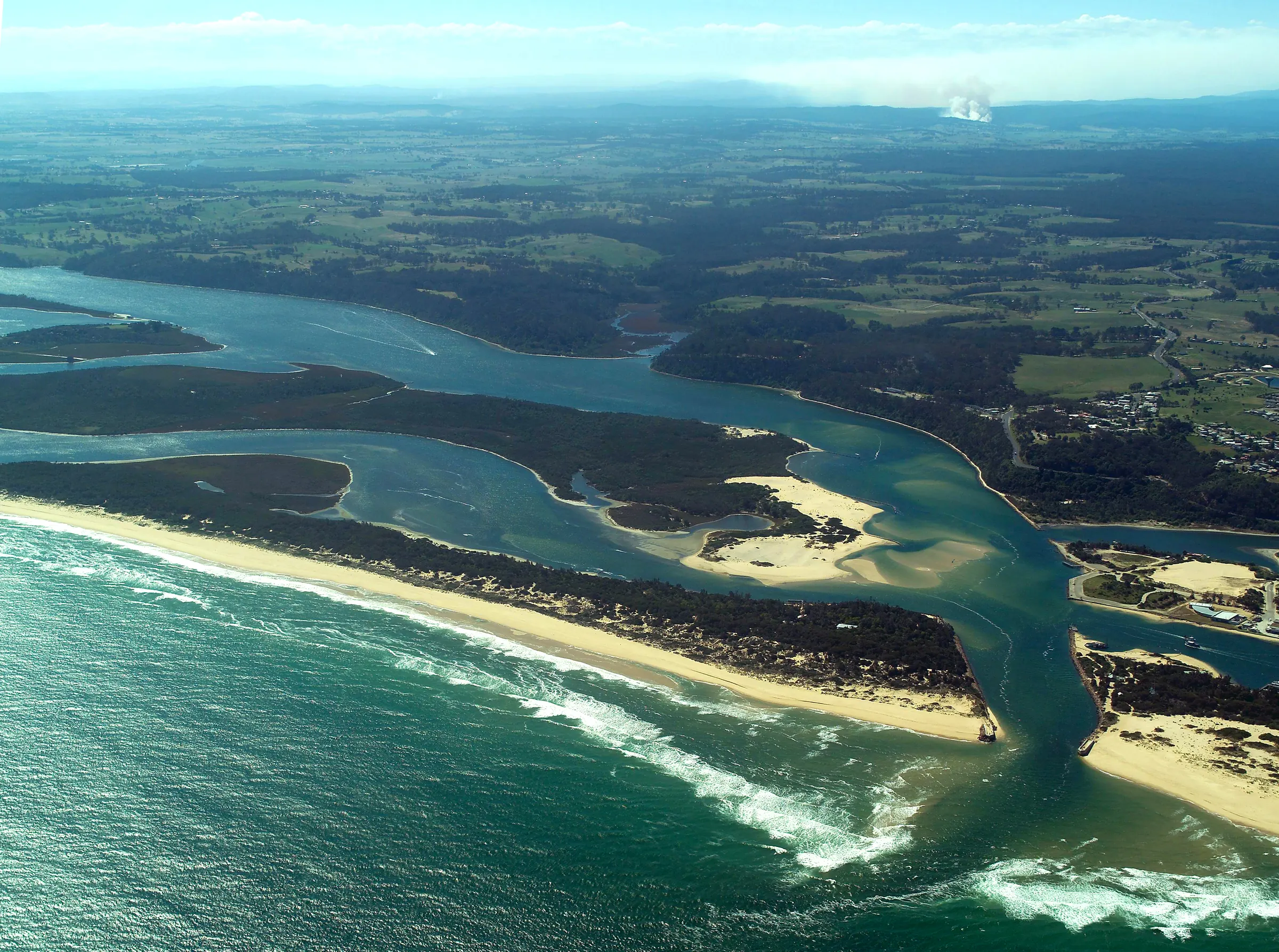
Aerial image acquisition and analysis.
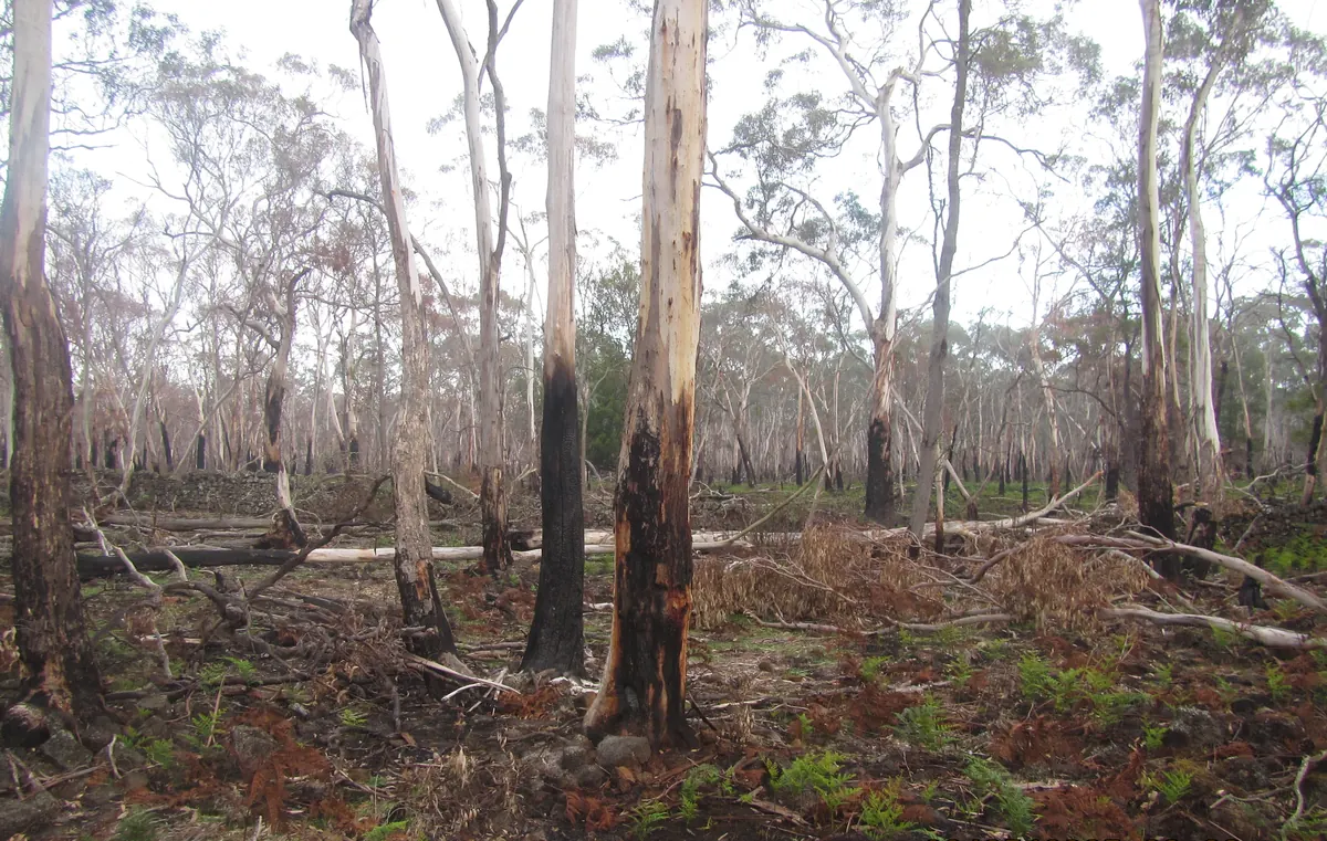
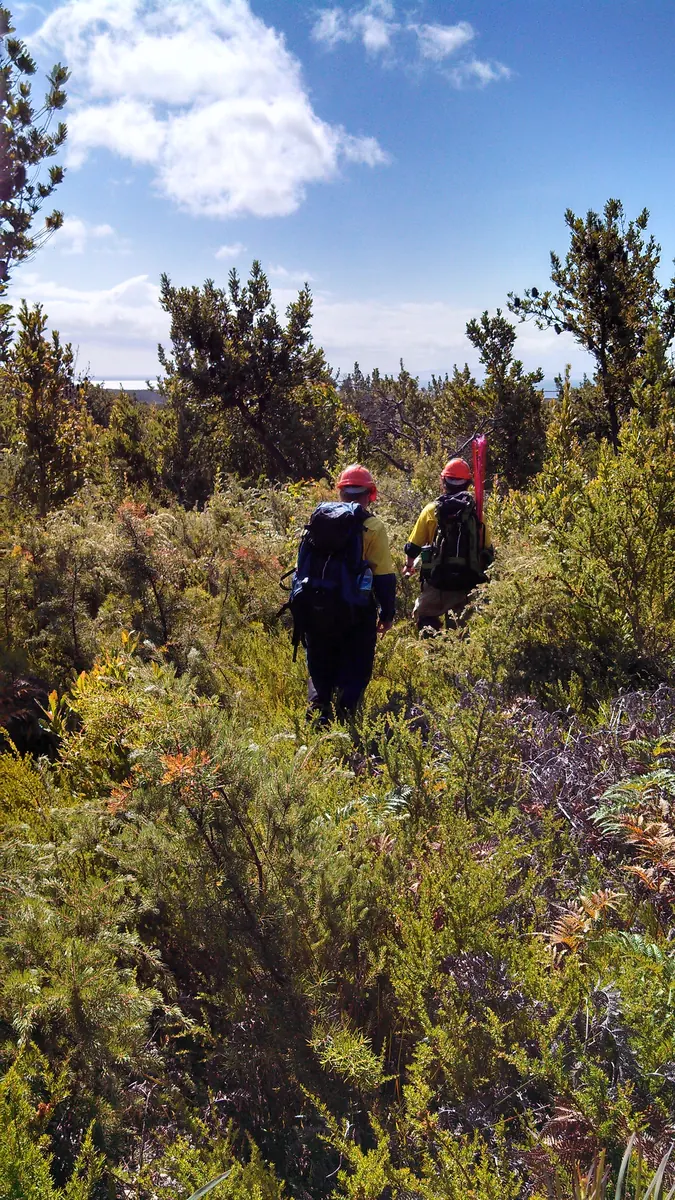
Bushfire planning and BAL assessment.
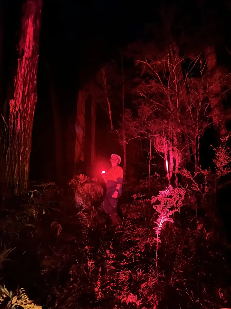
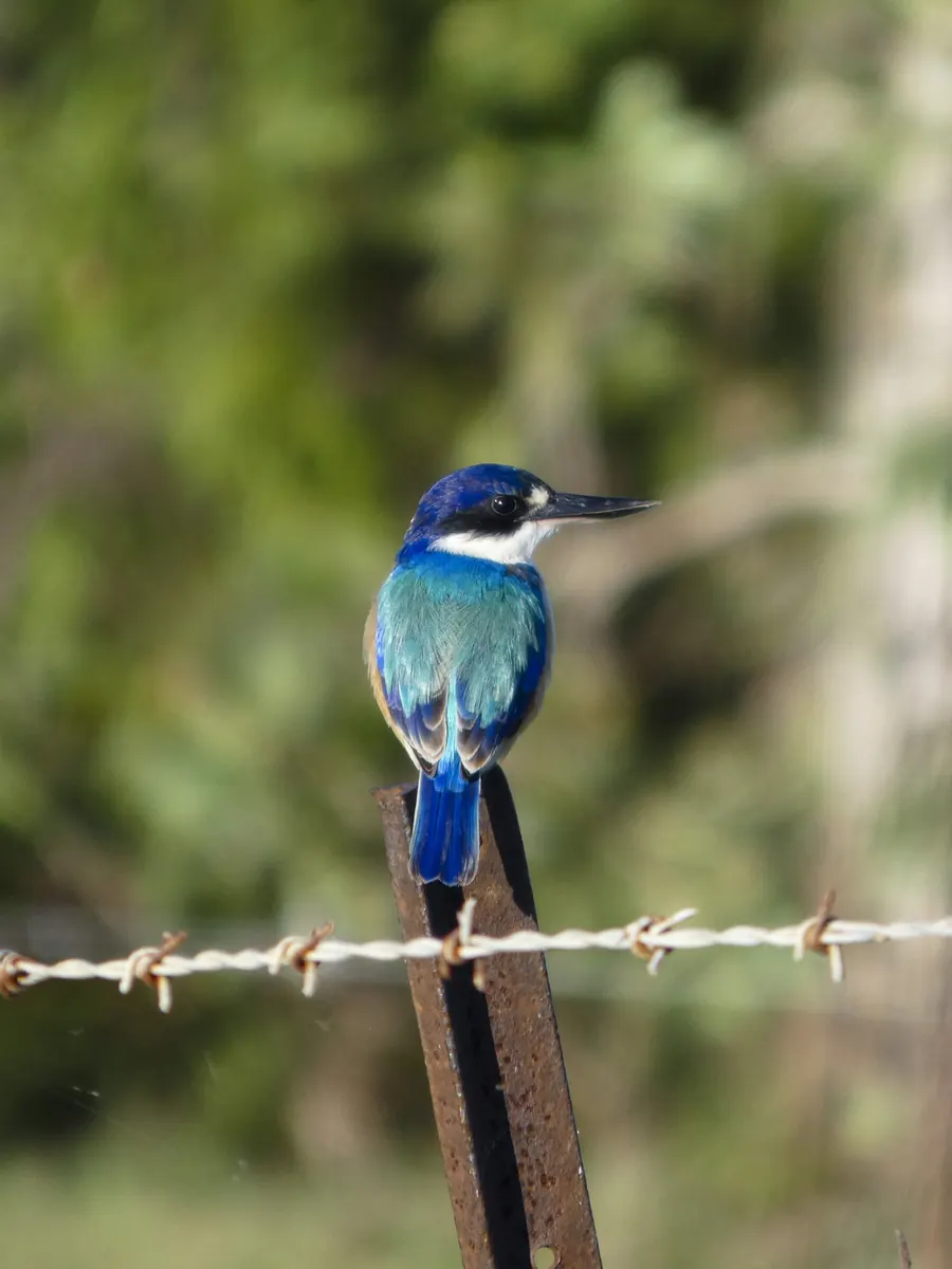
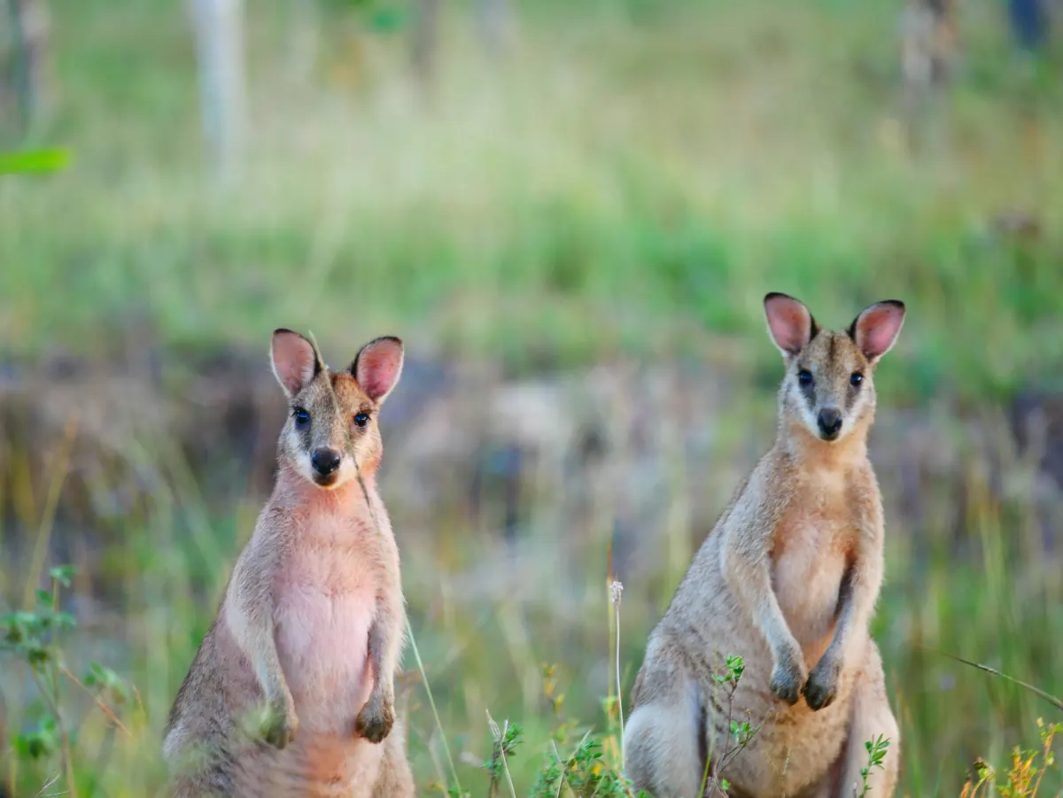
Flora, fauna and vegetation surveys.
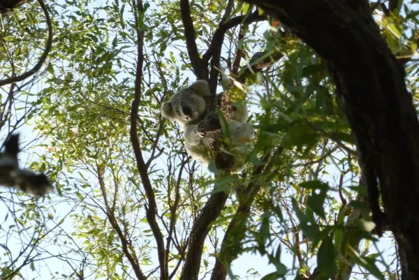
Planning for land and biodiversity.
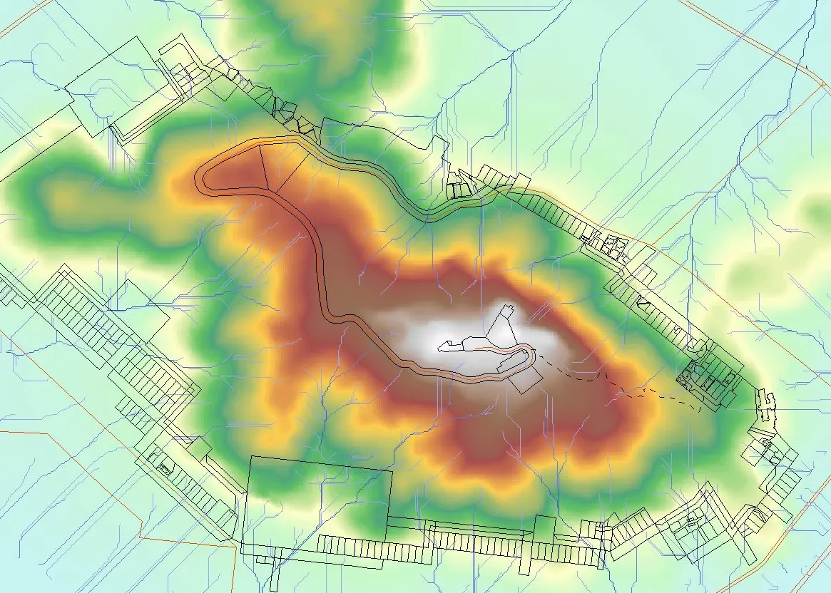
Spatial information and digital cartography.
Explore a service. On touch screens, tap a photo to preview, then its label to visit.
From planning to delivery
02 / Why EMA
Natural resource management expertise
across the eastern states.
320+
1994 to 2014
79
In the contract experience record
2
Victoria and Queensland
6
Listed below
Spatial imagery, LiDAR, surveying and geospatial data panel appointments.
Offices in Bairnsdale VIC and Townsville QLD. The Townsville office opened in 2017.
Aircraft, LiDAR and GIS bring aerial capture and spatial information together.
03 / A different perspective
Map and imagery products.
Scroll the collection
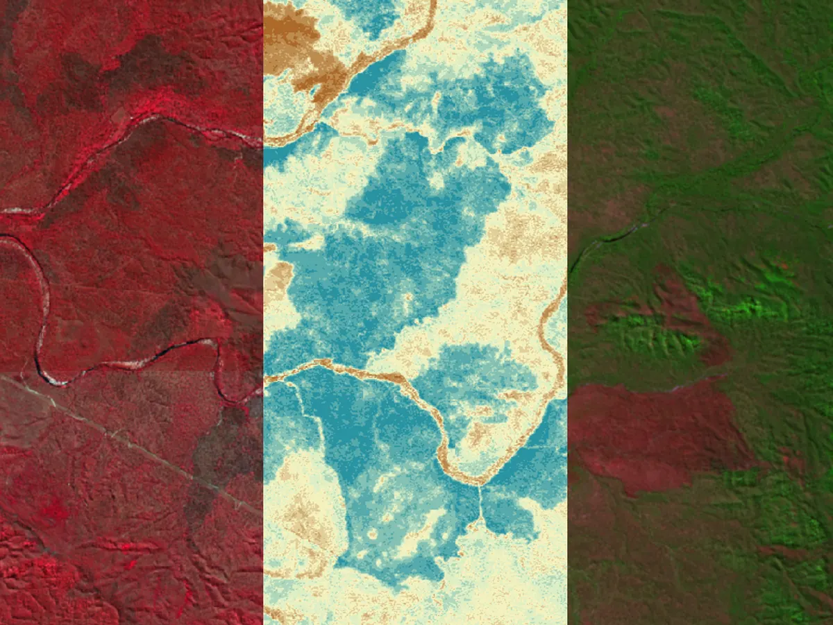
Spatial analysis
Terrain and water
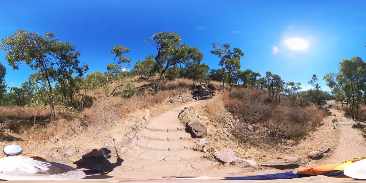
Image acquisition
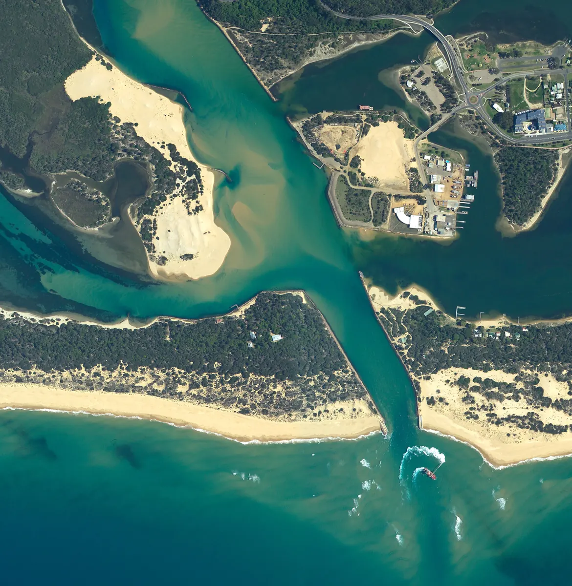
Landscape perspective
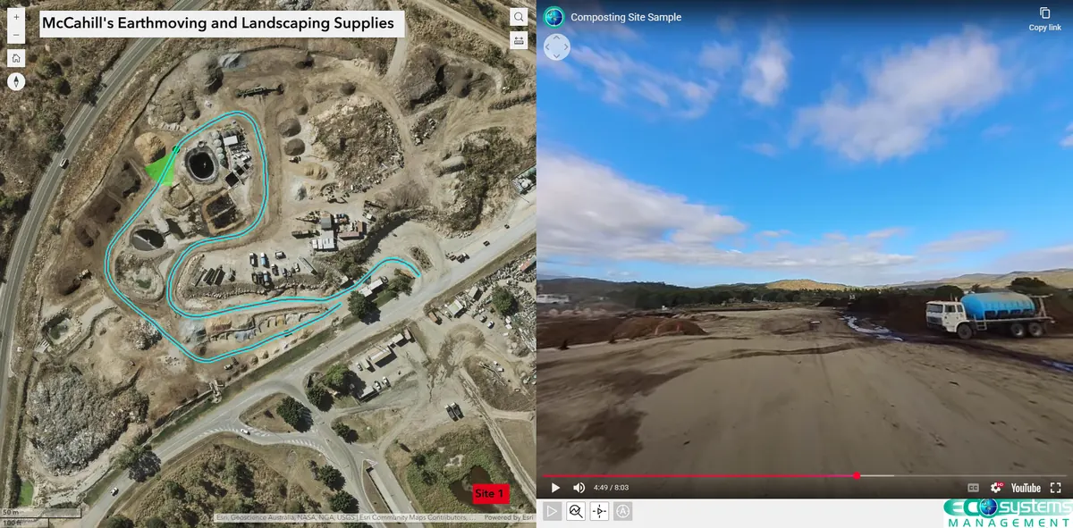
Data communication
04 / In the field
Detailed case studies are being prepared.
Detailed case studies are being prepared.
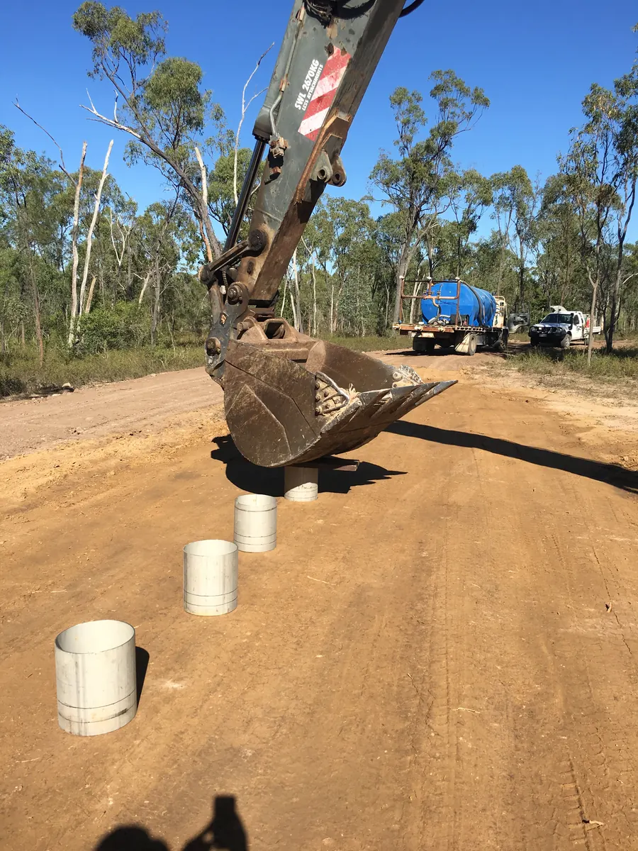
Detailed case studies are being prepared.
Panel appointments