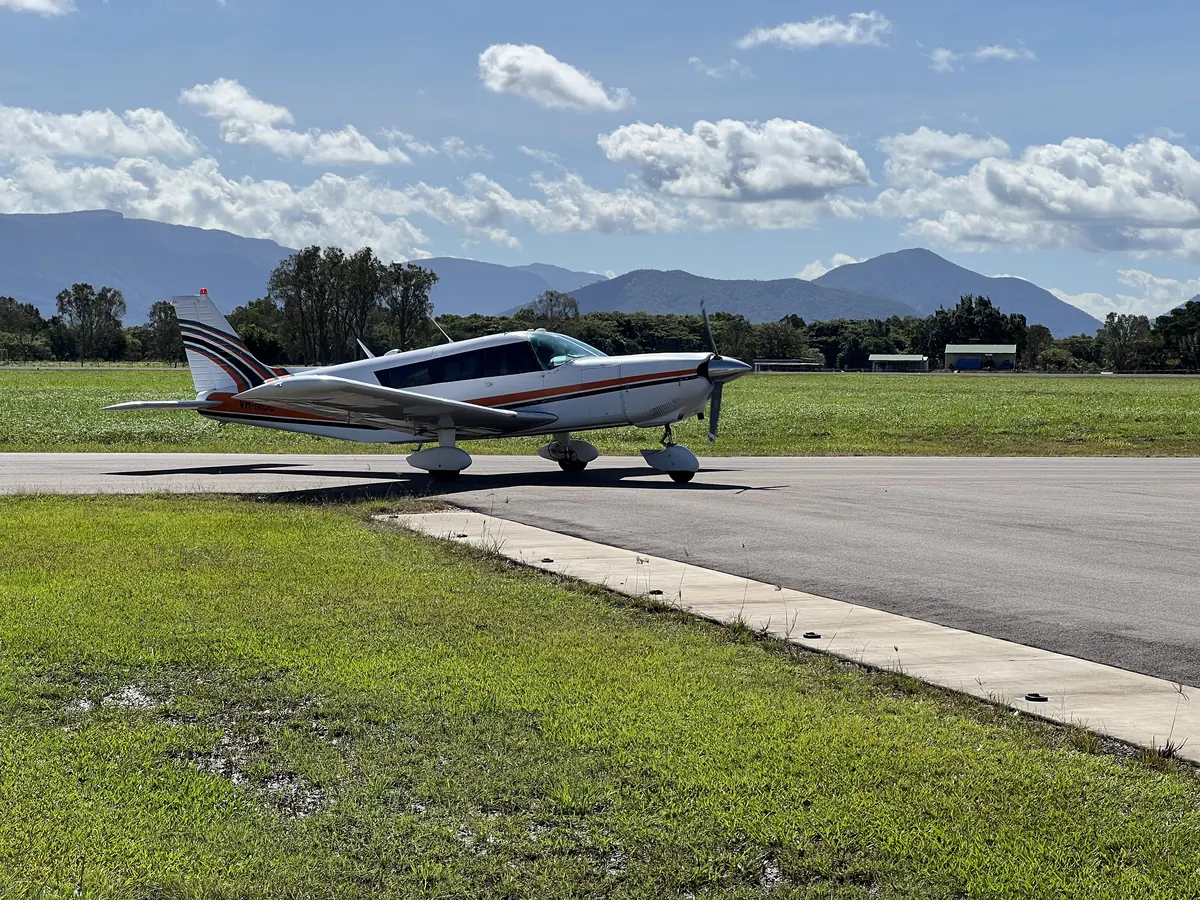
Aerial Photography & Remote Sensing
Aerial image acquisition and analysis.

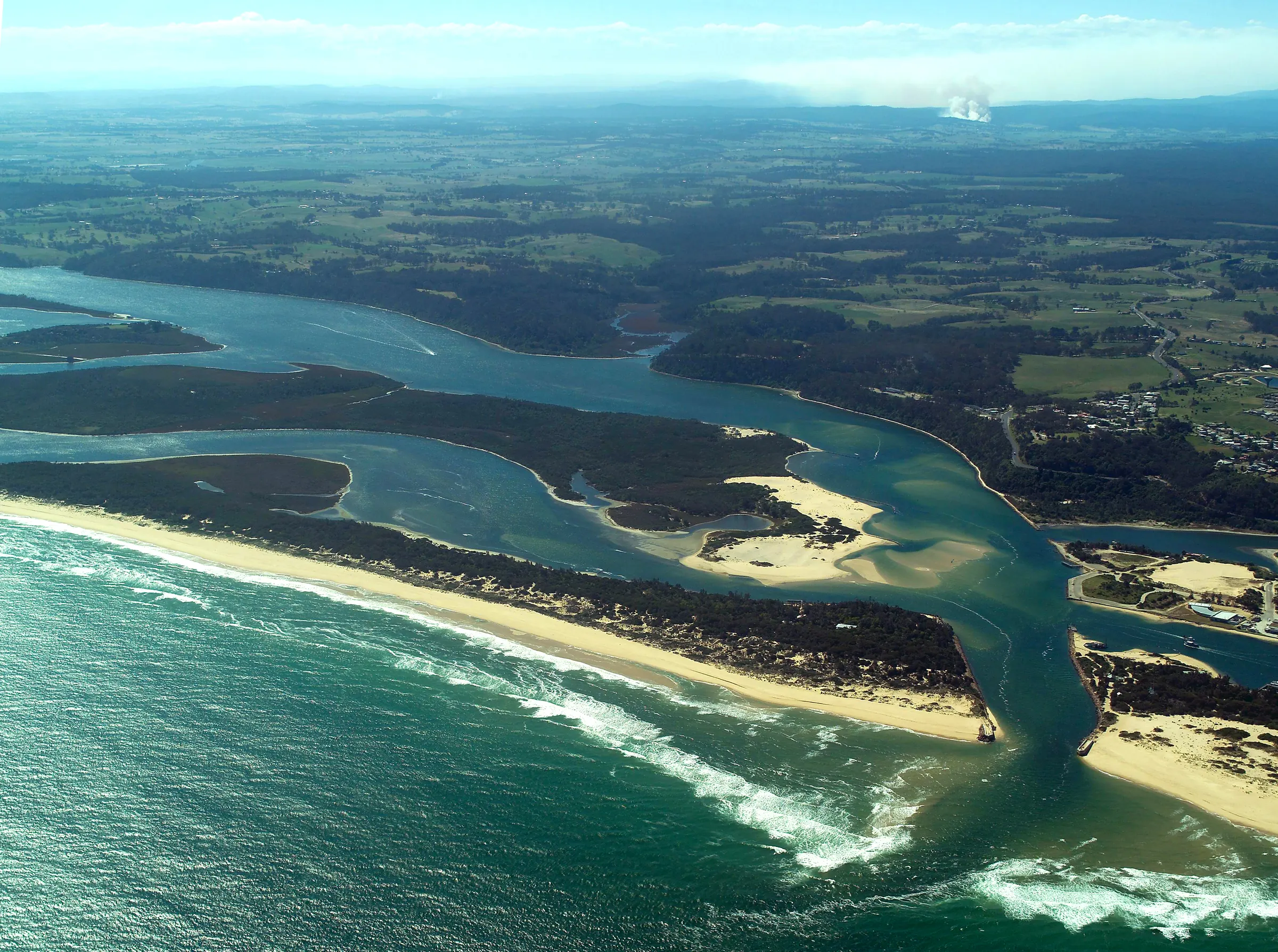
Ecosystems Management (Aust) Pty Ltd
Aerial imagery, bushfire management, ecological survey, environmental planning and spatial information.
Select a service to explore the work and discuss your project requirements.
Aerial image acquisition and analysis.
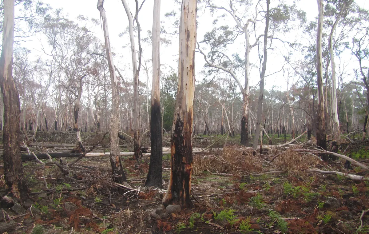
Bushfire planning and BAL assessment.
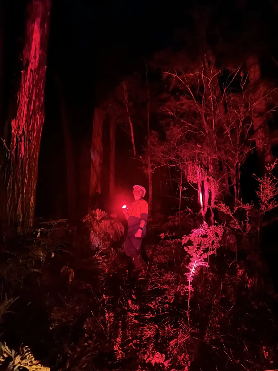
Flora, fauna and vegetation surveys.
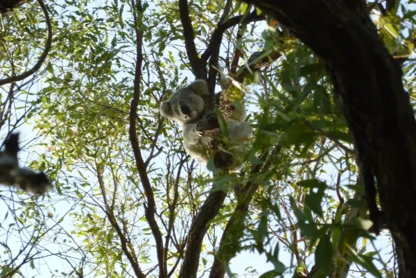
Planning for land and biodiversity.
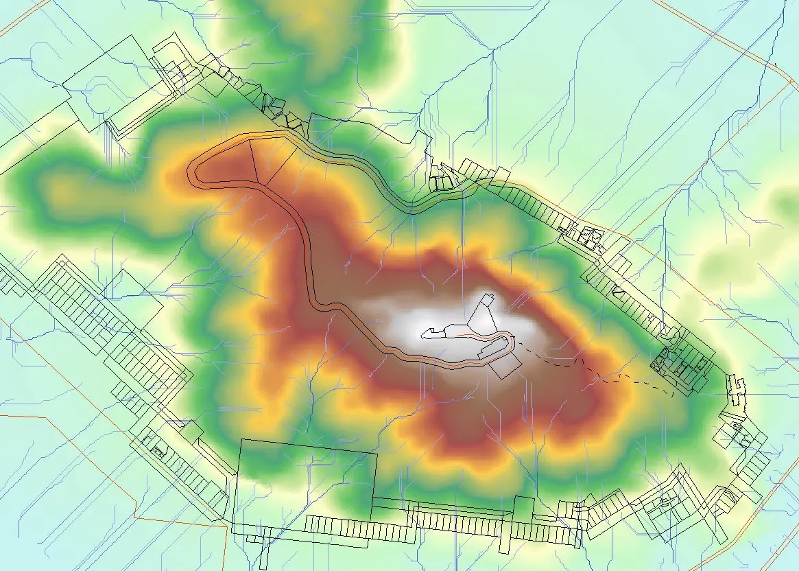
Spatial information and digital cartography.
Aerial image acquisition and analysis.
Bushfire planning and BAL assessment.
Flora, fauna and vegetation surveys.
Planning for land and biodiversity.
Spatial information and digital cartography.