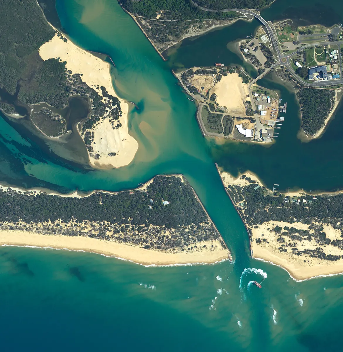
Lakes Entrance aerial photography
Detailed case studies are being prepared.

Ecosystems Management (Aust) Pty Ltd
Spatial information and digital cartography.
GIS & Spatial Data Management
Explore the services below, then talk with our team about your site and project requirements.
01 / Services
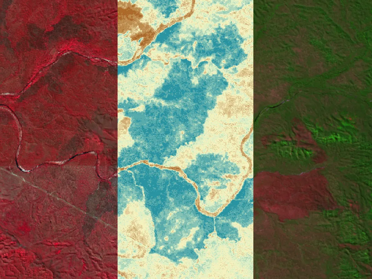
Data communication presents spatial information through maps and visual outputs.
02 / Services
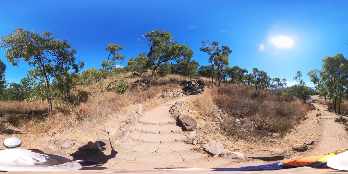
GPS data collection records field locations for use in spatial datasets.
03 / Services
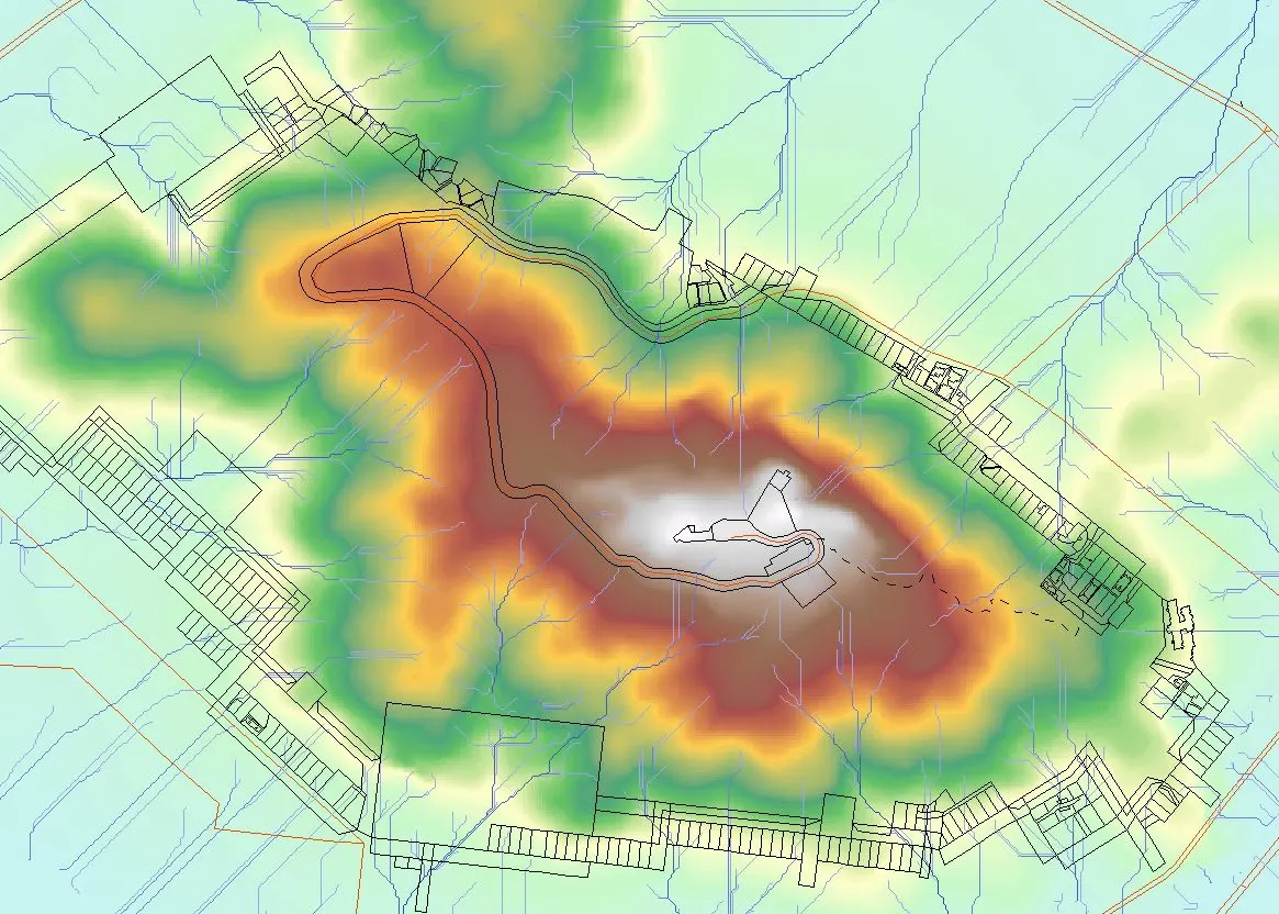
Spatial dataset development prepares geographic information for mapping and analysis.
04 / Services
Spatial data management organises geographic datasets and their associated information.
Detailed case studies are being prepared.
Detailed case studies are being prepared.
Detailed case studies are being prepared.