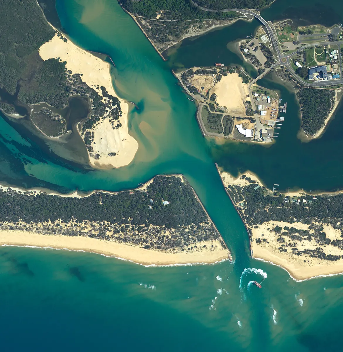
Lakes Entrance aerial photography
Detailed case studies are being prepared.

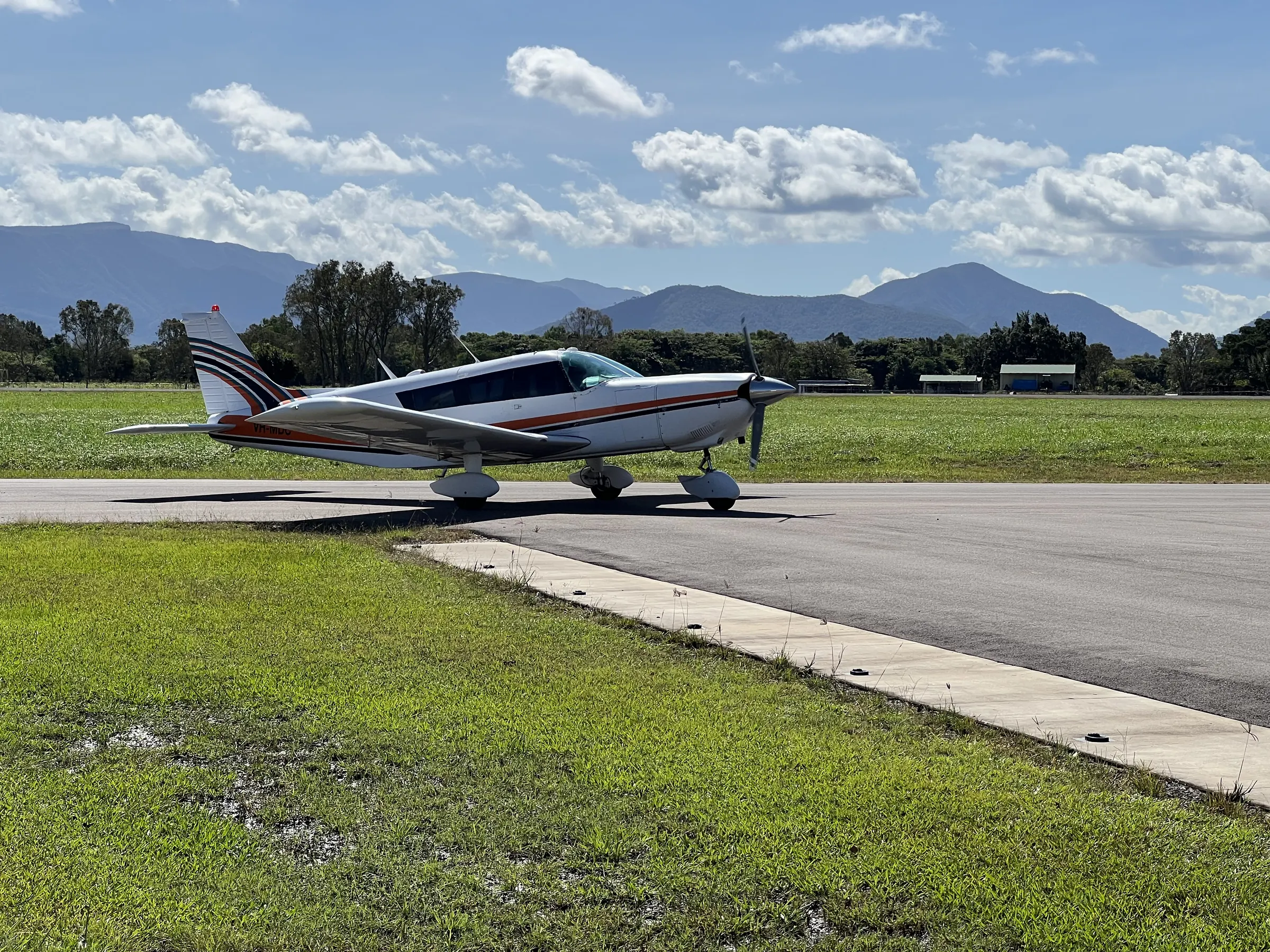
Ecosystems Management (Aust) Pty Ltd
Aerial image acquisition and analysis.
Aerial Photography & Remote Sensing
Explore the services below, then talk with our team about your site and project requirements.
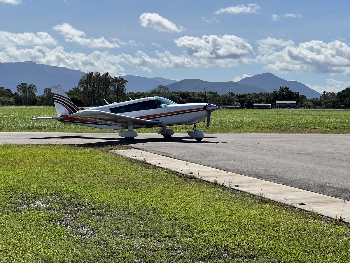
01 / Services
Aerial imagery records the landscape for image analysis and mapping.
02 / Services
Ground-based LiDAR records spatial measurements from ground-level scanning positions.
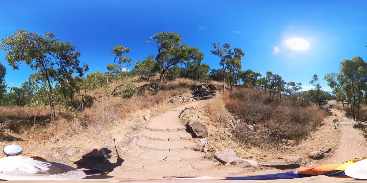
03 / Services
Camera mapping combines surrounding imagery with location information.
Detailed case studies are being prepared.
Detailed case studies are being prepared.
Detailed case studies are being prepared.